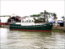
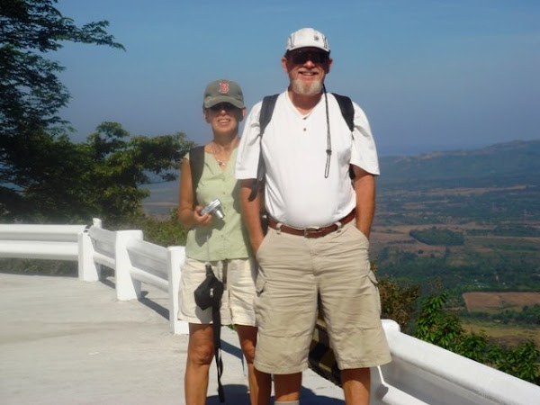
This is an email Randal wrote to Ken, his brother-in-law and my friend! Not sure if the Excel sheet will work. If not I wil try to see what I can do about posting our route.
Saturday, April 19, 2008
See Excel Attachment
We have two electronic chart programs. The Raymarine chart plotters, one in the pilothouse helm, an E-120, and an E-80 up on the flybridge, both equipped with Navionics electronic charts. These are an integral part of the boat and are hardwired to the radar,
This will give us an overview of our trip and how long it will take. Each days trip will have to be manually input into the boats chart plotter where it can be refined and checked once more to make sure I'm not taking the boat over a small island. In the Excel file the "Day" column represents travel days not consecutive days. We intend to lay over in Puerto Galera long enough to get our scuba diving certification for example. We don't know what calendar days these will be so I have left the tide column blank until I find out.
I made nearly this whole plan not knowing if most of the anchorages are suitable or not. We have been to Hamilo Cove, Puerto Galera, and Marinduque, but the rest were just based on what the chart looks like. Before this is locked in concrete I will consult with fellow cruisers, my cruising books for the
Then there is the weather. Direction of the prevailing wind/waves has a strong presence in passage planning. The veterans do it instinctively because here at least the prevailing wind comes from mostly two directions, the NE monsoon and the SW monsoon. The NE monsoon comes during the Northern Hemisphere's winter and the SW monsoon comes during the summer. The SW winds bring rain almost everyday and the NW winds bring drought. In trip planning you want the wind behind you are at least on your rear quarter if possible, certainly not on your bow where waves will build and gives you a hobby horse ride which is only fun for a short time. Of course if you're going from point A to point B and the wind is going from point B to point A then there is little choice, unless you can wait, like we are going to do to cross the
Of course just because you're in the middle of the NE monsoon does not necessarily mean the wind will be coming from that direction on the day your boat is where it is. Fronts still move through and land masses which we try to avoid with the boat are disturbing the wind as well, speeding it up, slowing it down, and changing it's direction. All of this is much more important to sail boats than to power boats. While sail boats get their horsepower from the wind, we diesel crankers are only concerned with comfortability and safety.
I'm going to play with Google Earth for awhile now and might even print the anchorage pictures and put them on my plan clipboard. Some of those aerial pictures show the channel and the shallows better than the charts do.
Footnote: Ruth asked me to send this to her as well to see if it is worthy of posting on her blog.
Footnote 2: Passage planning is very much like planning life's journey. The best laid plans can be set adrift in the event of a typhoon; but only if you don't plan for a typhoon, which I
have.
Randal
Ruth Johnson
DoraMac


1 comment:
hi ru,
blog looks good
h
Post a Comment